
Land Surveying
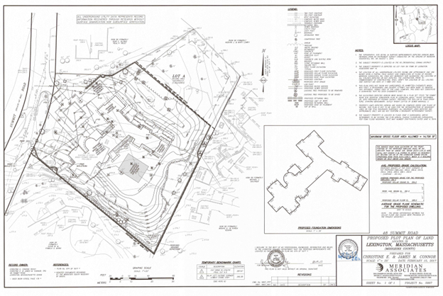
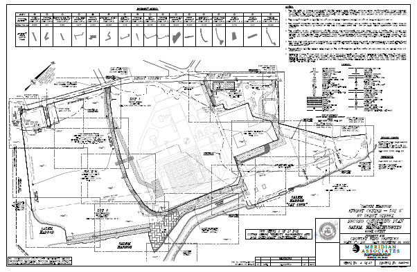
Professional Land Surveying (PLS) re-establishes boundaries based on historical documents, record monuments and physical evidence of occupation. It also maps surfaces and other site features, supports data acquisition, land division, and construction projects. Since our founding in 1990, Meridian Associates has completed and applied PLS stamps to thousands of Surveys for public and private clients across Massachusetts.
Based on collected data and field measurements we support engineering and architectural design and establish informational groundwork for a successful project outcome. We provide comprehensive site research, and we acquire all available record documents. Our field crews perform accurate on-site measurement and data collection. It is our attention to detail that makes us passionate to achieve the most accurate boundary determination that is based on available research and field survey measurements.
Meridian Associates delivers accurate maps and plans, including property lines, topography, and subdivision of land. We map resource areas, Right-of-Way utility projects and deliver surface volume calculations. We support construction projects with 2D plans and 3D BIM modeling from the initial site stakeout to as-built documents. As part of our Geospatial program, we utilize the most accurate survey equipment that includes total stations, GPS units, 3D laser scanners and UAS platforms for LiDAR and photogrammetry.
SERVICES PROVIDED
Topographic mapping
Boundary retracement surveys
ALTA/ACSM title insurance surveys
Construction layout and support
Deformation survey and monitoring
Volume analysis/quantity verification
GIS support services
PROJECT TYPES
• Coastal
• Commercial
• Education
• Energy
• Housing
• Industrial
• Infrastructure
• Institutional
• Municipal
• Retail
• Transportation
• Utilities
• Water resources
1
2