• External link opens in new tab or window
Meridian Associates Inc. | Beverly, Massachusetts
Menu
  • External link opens in new tab or window
    • External link opens in new tab or window
    • External link opens in new tab or window
    • External link opens in new tab or window
    • External link opens in new tab or window
    • External link opens in new tab or window
  • External link opens in new tab or window
  • External link opens in new tab or window
  • External link opens in new tab or window
  • External link opens in new tab or window

LiDAR and 3D Laser Scanning


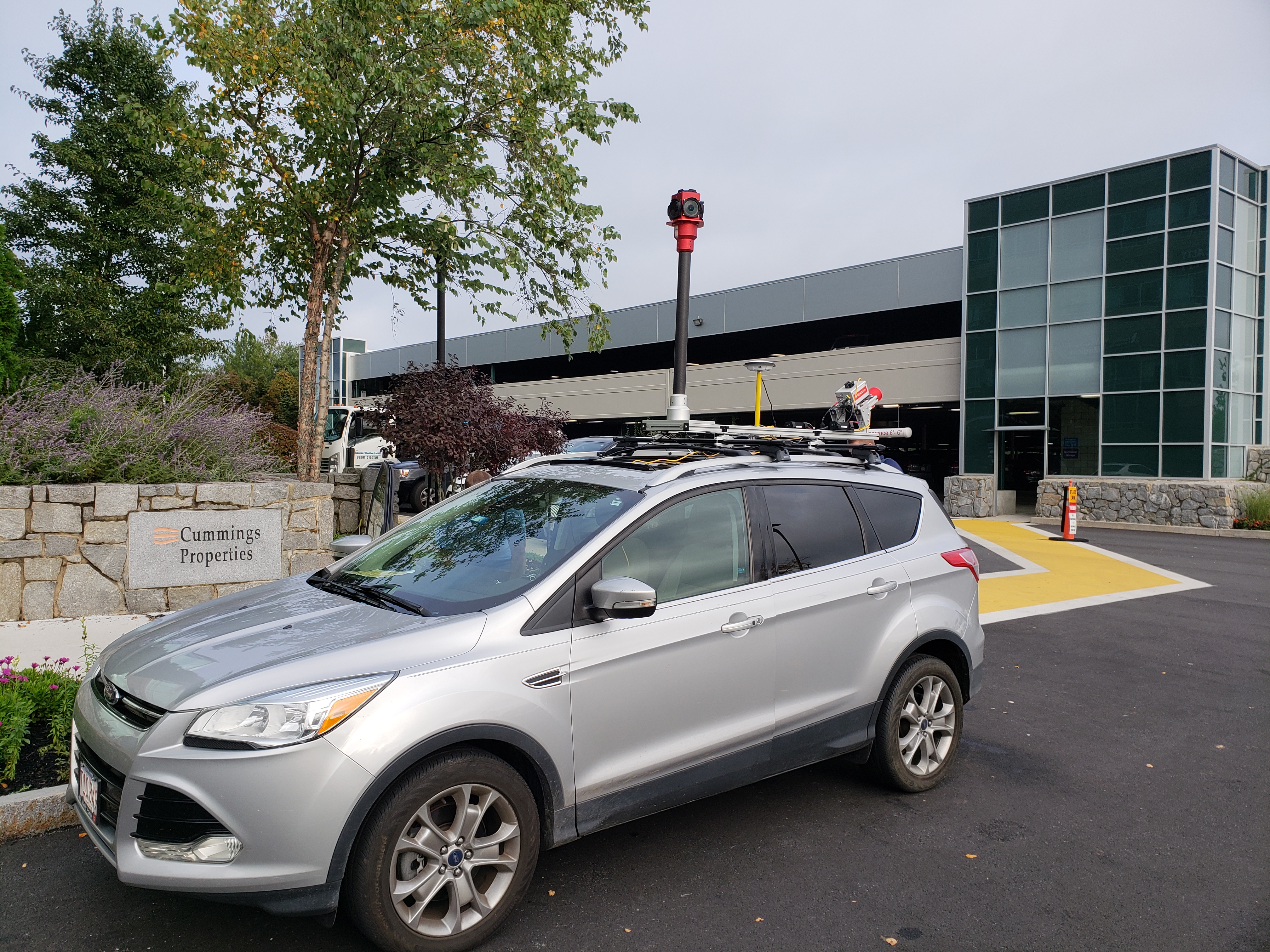
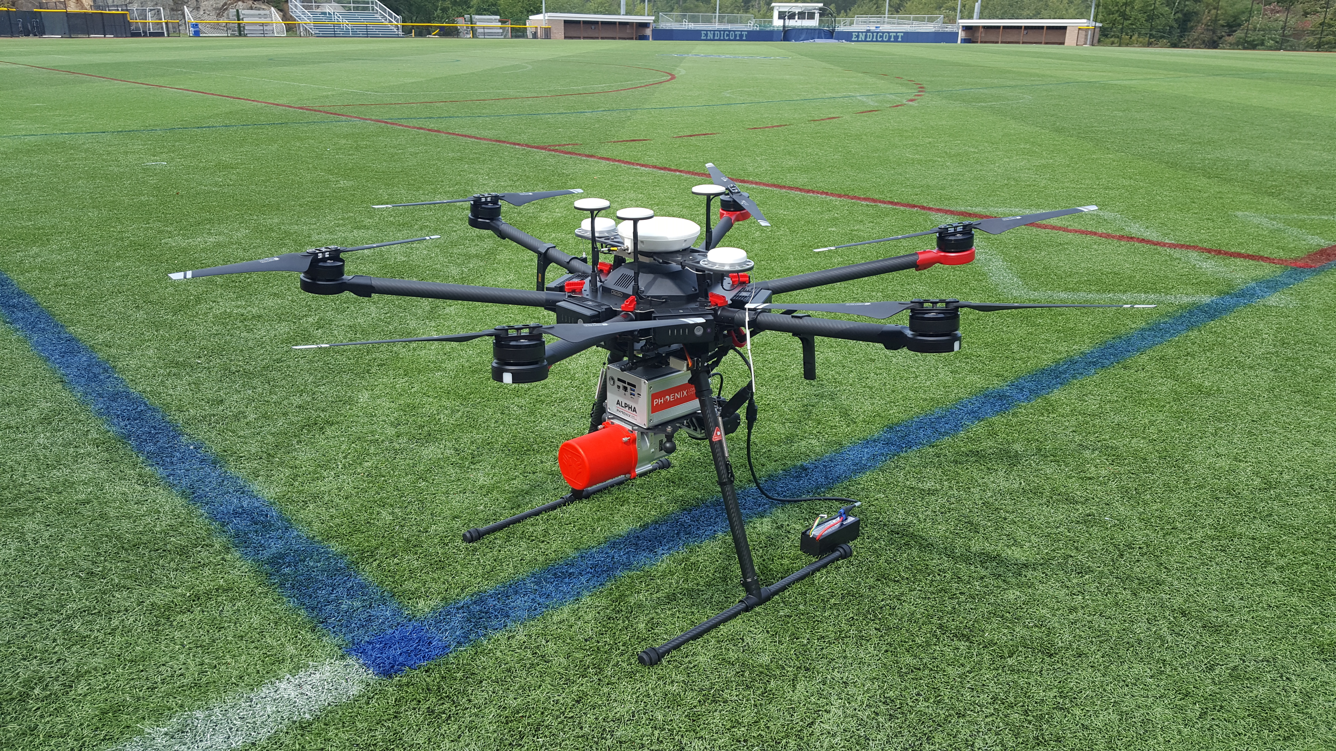
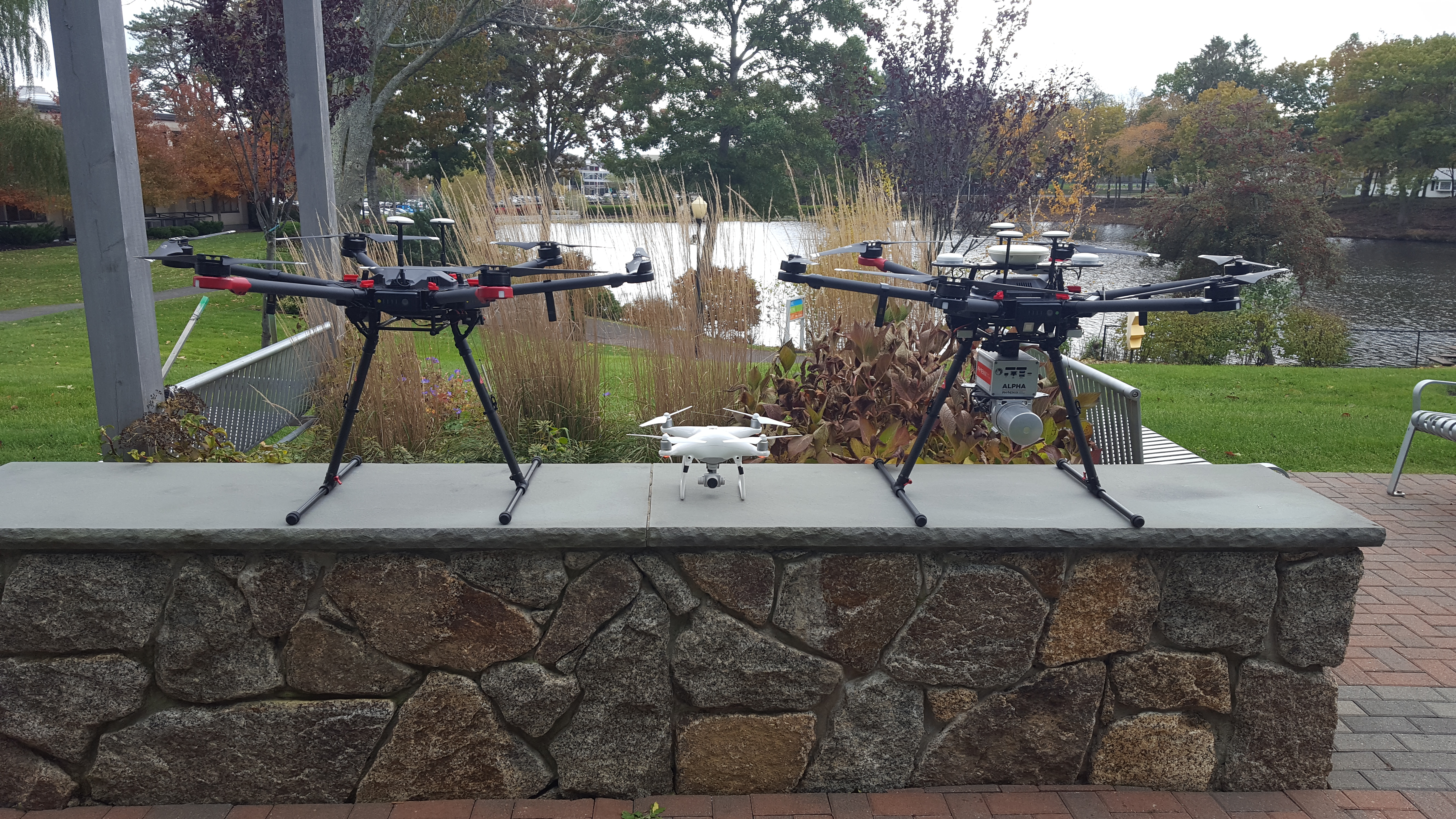
Quickly becoming the preferred method of data acquisition for infrastructure projects, aerial and mobile LiDAR (Light Detection and Ranging) mapping is capable of high speed, accurate surveying of large-scale projects.


This surveying technique utilizes state-of-the-art laser sensors, coupled with advanced GPS-based positioning, and immersive cameras that collectively produce corridor wide, full-color, LiDAR point cloud data. The LiDAR data is post-processed and delivered with a variety of derivative products, including but not limited to terrain models, topographic mapping, asset databases, 3D models, and/or clearance studies.

                  

https://0201.nccdn.net/1_2/000/000/0c8/791/uas-lidar-setup.jpg
https://0201.nccdn.net/1_2/000/000/16a/694/uas-fleet.jpg
https://0201.nccdn.net/4_2/000/000/056/7dc/mobile-lidar.jpg
https://0201.nccdn.net/1_2/000/000/0c8/791/uas-lidar-setup.jpg
https://0201.nccdn.net/1_2/000/000/16a/694/uas-fleet.jpg

1

2

3

0

© 2025, Meridian Associates, Inc.
500 Cummings Center, Suite 5950
Beverly, MA 01915
P 978-299-0447  |  800-466-5505
F 978-872-1157
mai@meridianassoc.com

External link opens in new tab or window

External link opens in new tab or window

Powered by MyBizz Websites
close lightbox