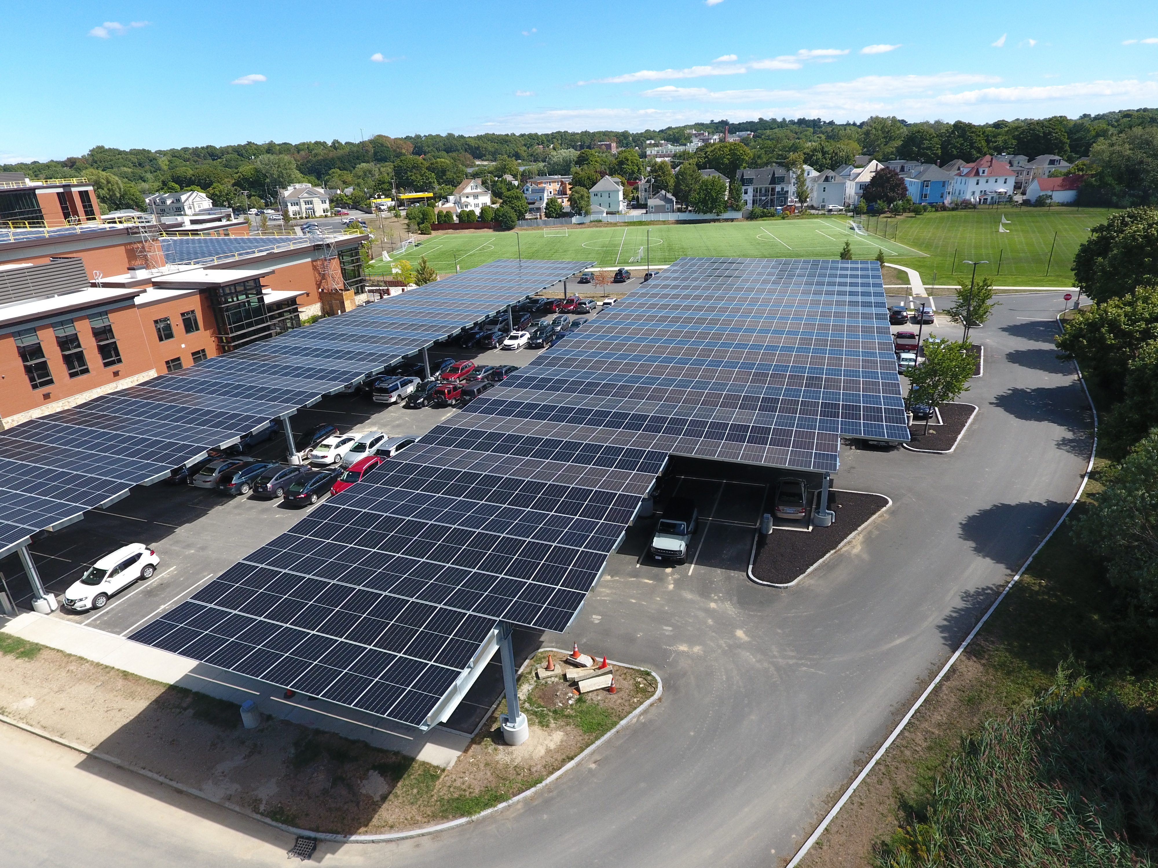
Solar Development
Meridian Associates offers site/civil design engineering, land survey, LiDAR and landscape architecture capabilities coupled with deep regulatory expertise – all in-house – to many of the leading solar developers across the region.
Meridian’s initial site assessment services allay site development fears, uncertainties, and doubts. Meridian will evaluate your site for usable development area, stormwater challenges and solutions, as well as natural resource area restrictions. Our research will reveal what regulatory approvals will be necessary for your project’s success, and our Survey Dept. can reveal any boundary issues that might impact the project’s limits.
If you choose to use our LiDAR and Land Surveying services, the resulting point cloud will help the project team guide construction with exacting specifications based on precise existing conditions data. Point cloud data can also be used by Meridian technicians to produce project view shed renderings – including “what-ifs” – that can help support public outreach in remarkable new ways and aid in the permitting process.
If you move forward with Meridian, our in-house Land Survey team will give you and future owners full confidence that the property’s topography and boundaries are correct. We’ll complete comprehensive site Civil design plans and specifications. Our green-focused landscape architecture expertise will make sure that any impacted wetlands can thrive, and the right native site plantings are selected to flourish. And we’ll see your project right through to construction administration and final closeout.


