
Private Country Club
North Shore, Massachusetts
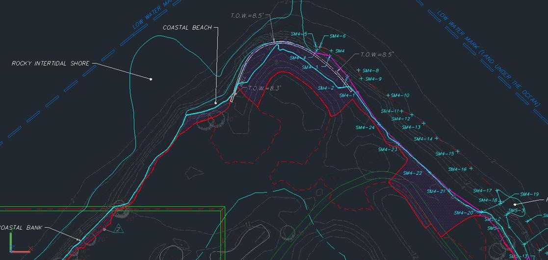
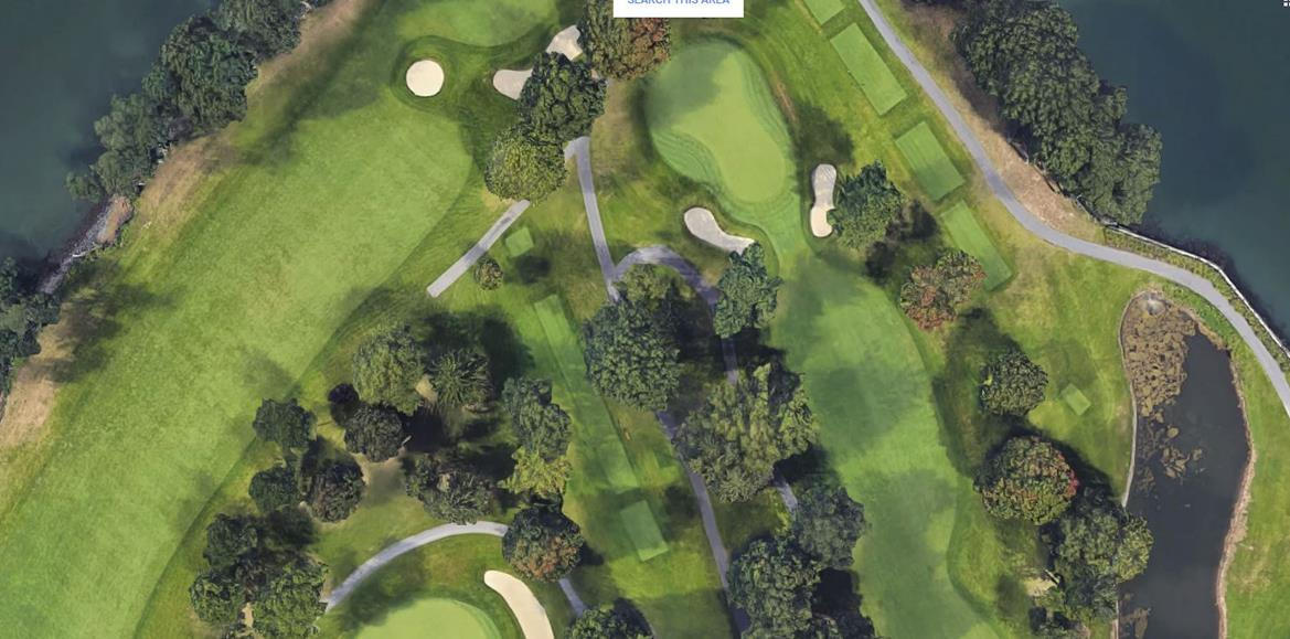
A prestigious member-owned country club on the North Shore of Massachusetts has an 18-hole golf course located on a tidally influenced waterway that is experiencing coastal erosion. The owners wanted to determine the extent of shoreline erosion abutting the golf course. Meridian Associates conducted wetland delineation services along with both a traditional land survey and an aerial LiDAR survey.
Mapped wetland areas captured coastal and inland wetland resource areas such as salt marsh, coastal bank, land subject to coastal storm flowage, rocky intertidal shore, coastal beach, tidal flats, riverfront area, bordering vegetated wetlands, and the abutting land subject to flooding. The challenges of the project were to get a complete survey of the tidal zone from the low water mark to 50 feet seaward of the shoreline. Using the aerial LiDAR survey data, a complete 3D point cloud was created and then used to display contours. LiDAR data was collected over two days compared to a week or more effort required using traditional survey. Data was collected from an altitude of 50 meters and a speed of 20 kilometers per hour. Meridian used the 3D point cloud data to create a record conditions plan that depicts the delineated wetland resource areas and the eroded coastline in need of remediation.

1
2
3